Combining [ Video + GPS ] to Create Next Generation [ Online Maps ]
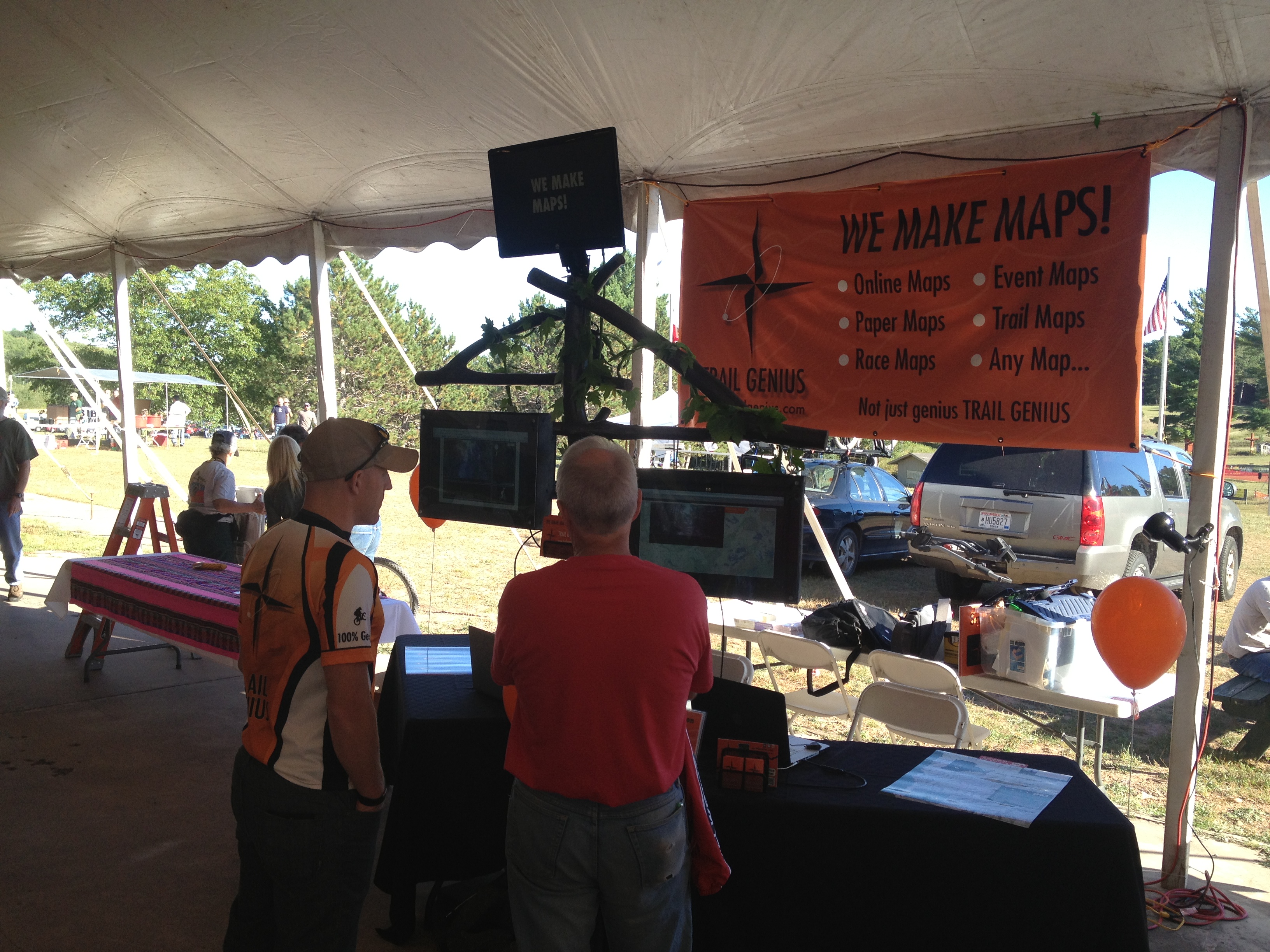
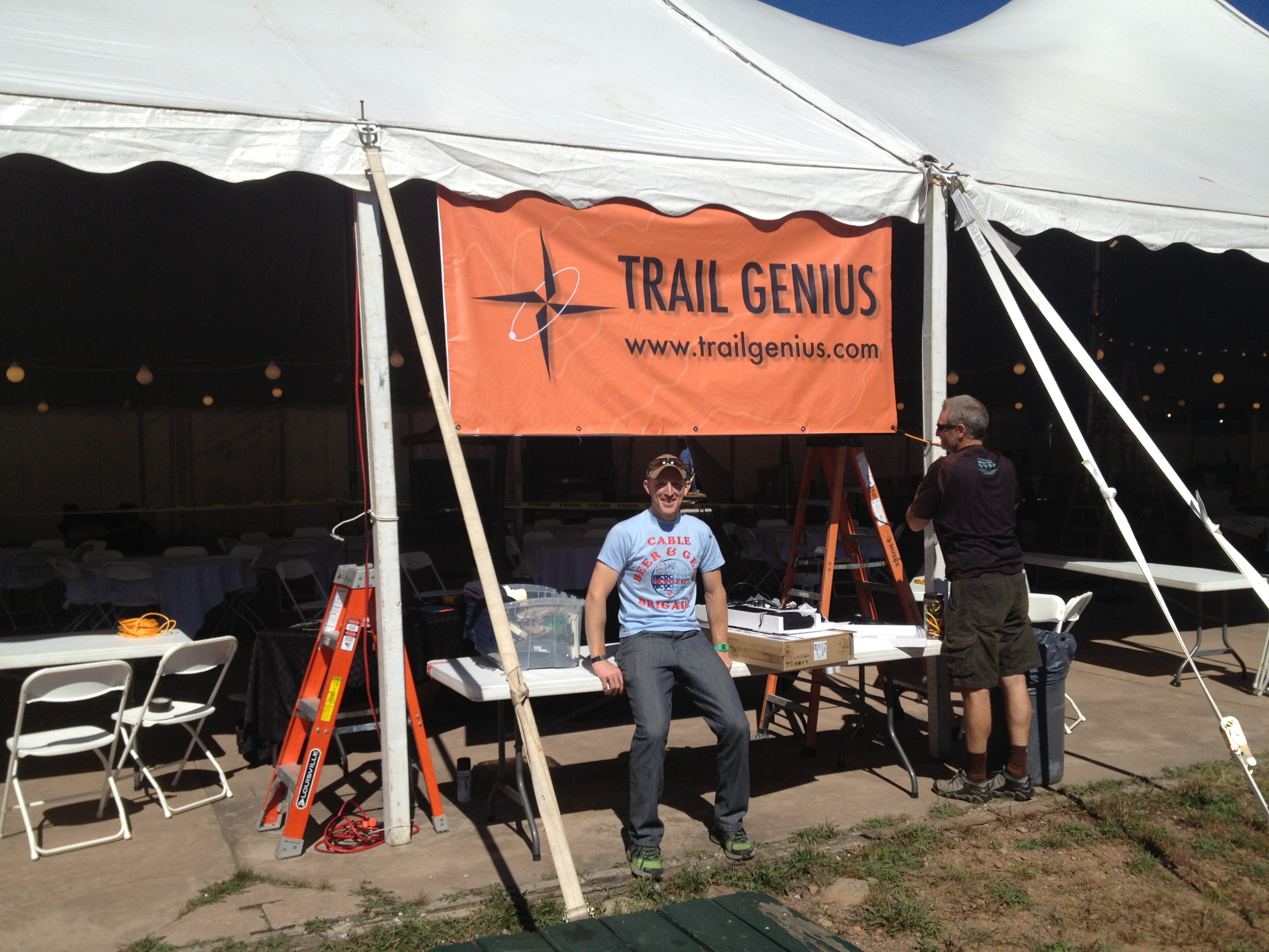
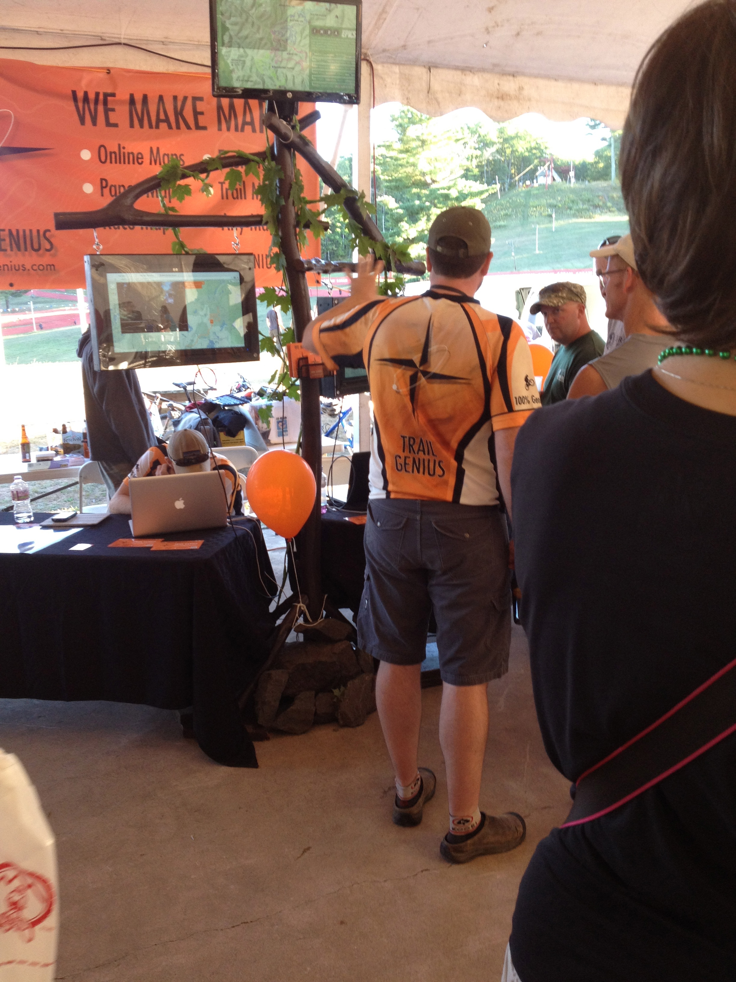
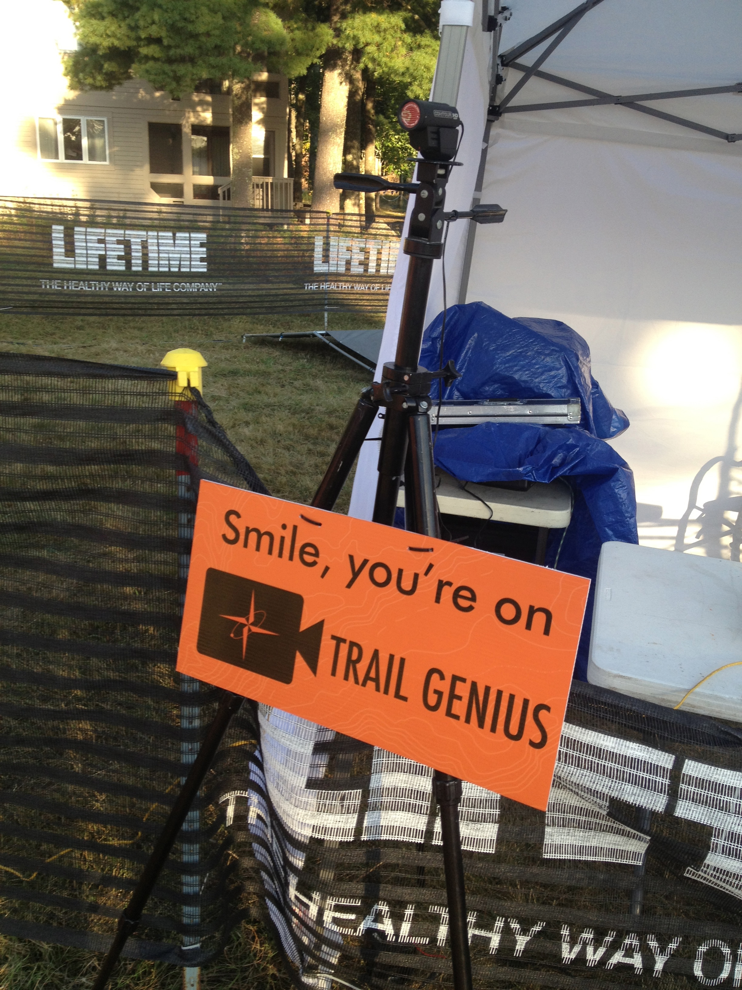
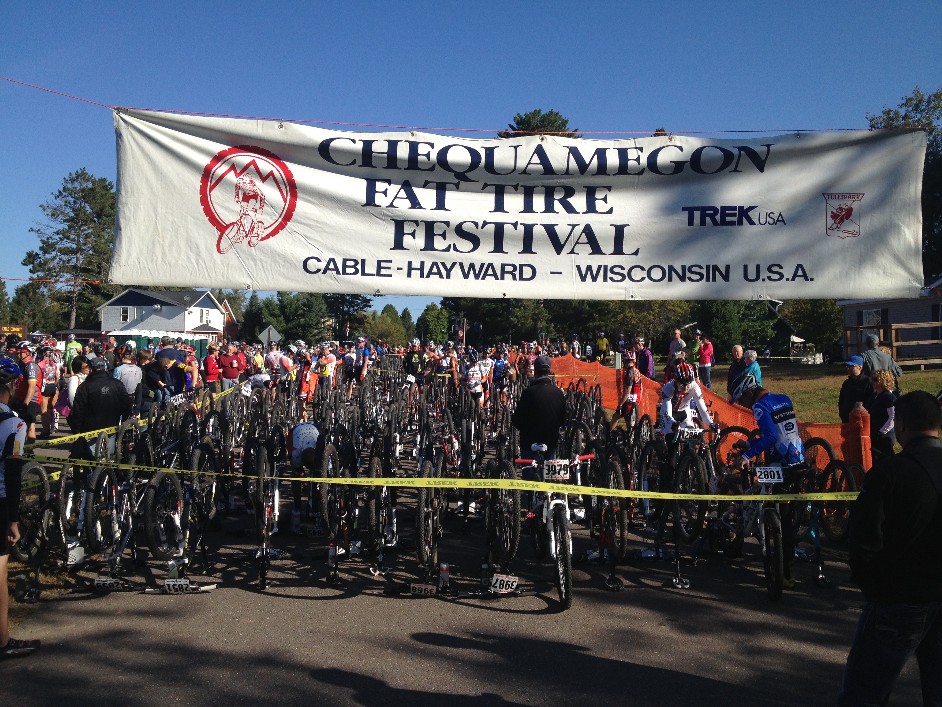
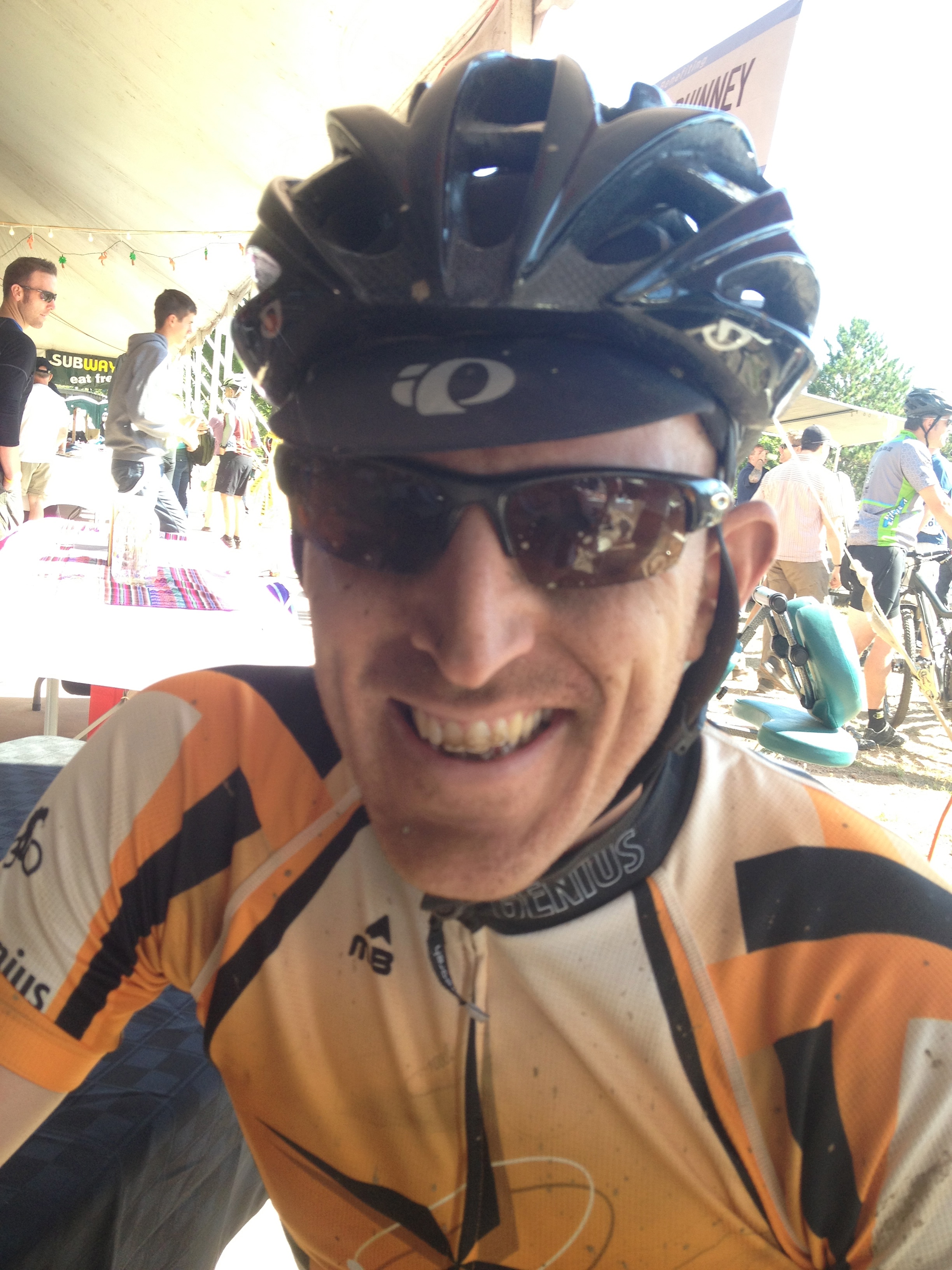
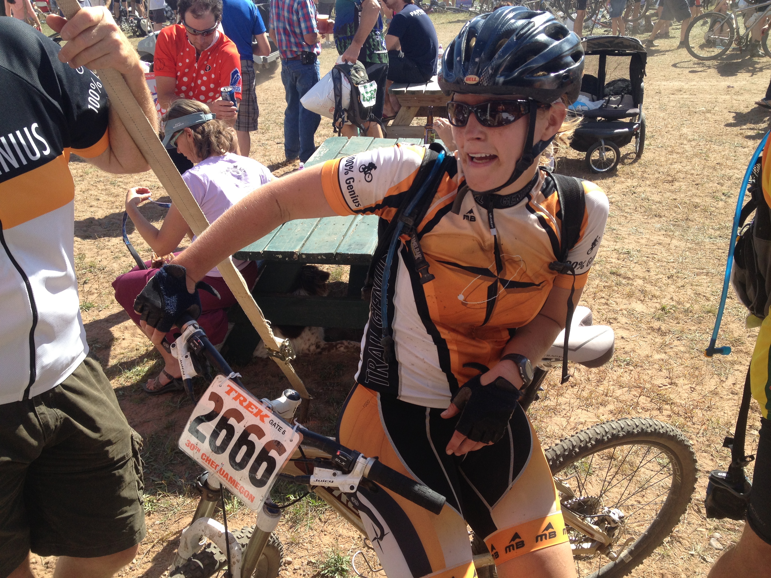
It was a big year at Chequamegon, Trail Genius had a lot going on, starting out with the expo on Friday. This was the second year we have had a booth at the expo, and we found time to make some upgrades to our display. Last year we have one LCD, this year we had three LCDs, and two iPads. Plenty of screen space to show off Trail Genius maps. The expo was super successful with TG making all kinds of new contacts. Because we were in charge of mapping for the event, we got VIP passes, which meant free meals all weekend, starting with the spaghetti dinner at the expo. As the afternoon turned to night, we finally had to pack it up so we could get some rest before the race the next day, but that didn't stop people from watching our video maps to the very end.
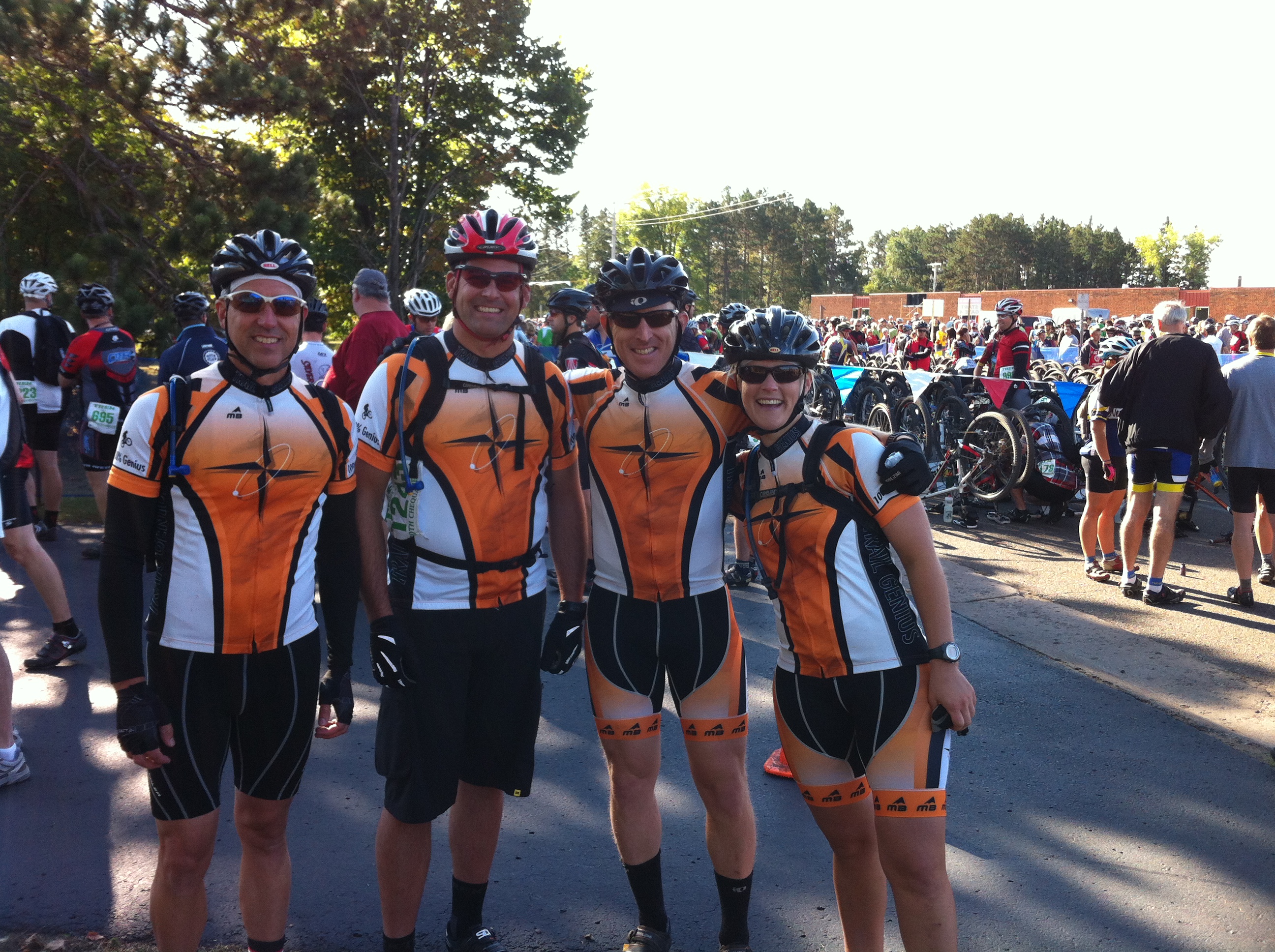
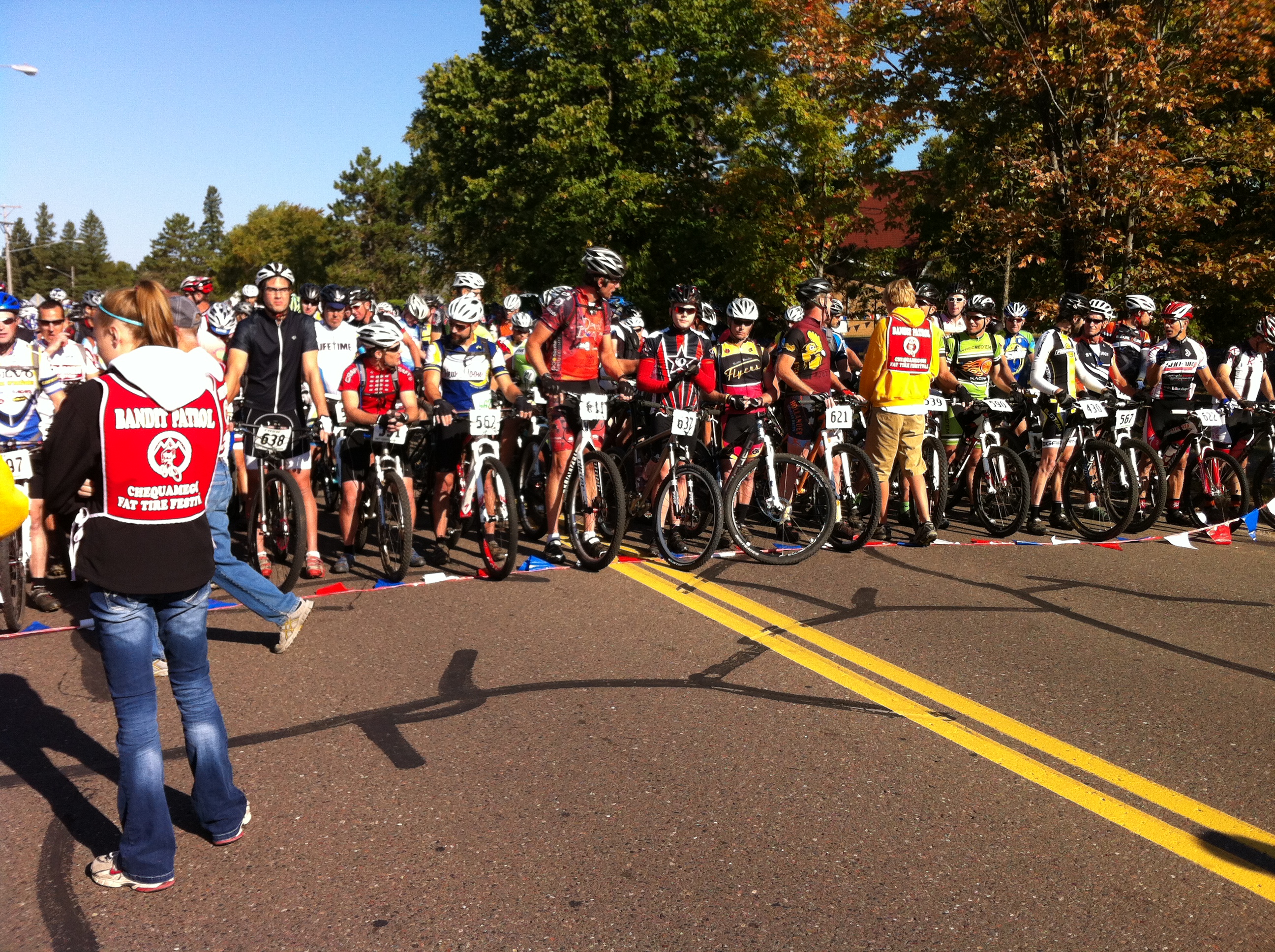
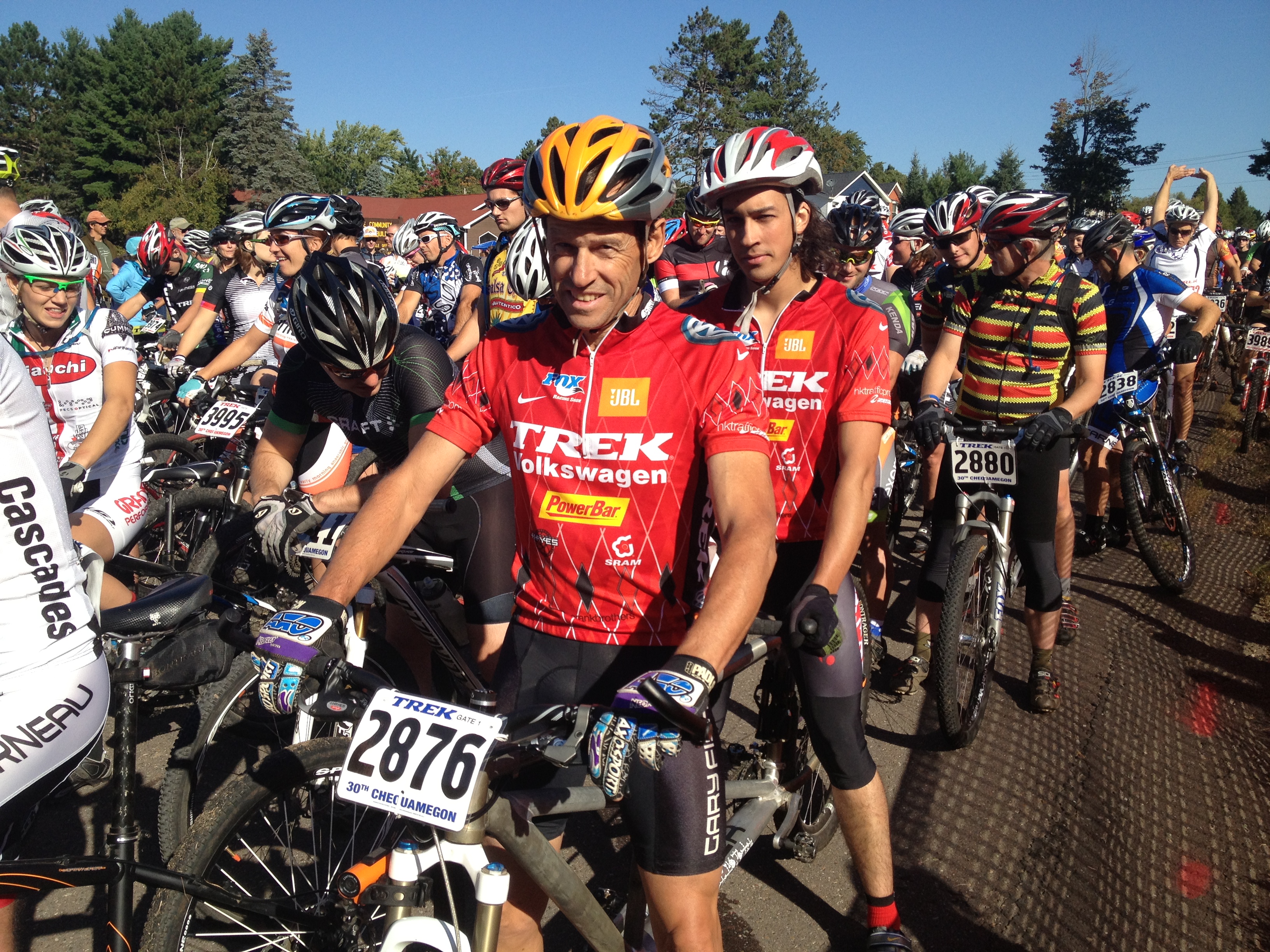
Getting ready for a race at Trail Genius with all the camera and GPS equipment we have to manage, and we made it even harder on ourselves this year by having a total of 9 cameras, 8 riders and 2 quads spread across two races with starts 40 miles apart. There were 4 riders and 1 quad with cameras on them in the 40, and 4 riders (1 tandem) and 1 quad with cameras on them in the S&F. Keeping everything straight and managing the video and GPS files when we were done was a challenge, but we managed to get plenty of footage and all TG riders finished. In fact the tandem took 3rd place!
All and all it was another successful year. Everyone here at TG would like to thank Gary and the Chequamegon team for taking such good care of us and putting on a world class event. If you get a chance pop over to the Chequamegon Facebook page and give them a like.